Cuajone Botiflaca Airport
| Cuajone Botiflaca Airport | |||||||||||
|---|---|---|---|---|---|---|---|---|---|---|---|
| IATA: none – ICAO: SPDS | |||||||||||
| Summary | |||||||||||
| Airport type | Public | ||||||||||
| Serves | Botiflaca | ||||||||||
| Elevation AMSL | 11,204 ft / 3,415 m | ||||||||||
| Coordinates | 17°04′15″S 70°46′15″W / 17.07083°S 70.77083°WCoordinates: 17°04′15″S 70°46′15″W / 17.07083°S 70.77083°W | ||||||||||
| Map | |||||||||||
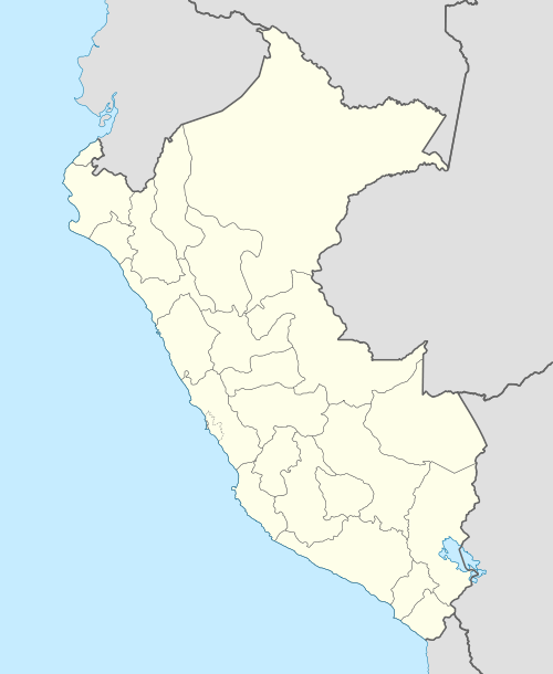 SPDS Location of the airport in Peru | |||||||||||
| Runways | |||||||||||
| |||||||||||
Cuajone Botiflaca Airport (ICAO: SPDS) is a high elevation airport serving the mining towns of Cuajone and Botiflaca in the Moquegua Region of Peru.
See also
References
- ↑ Airport information for SPDS at Great Circle Mapper.
- ↑ Google Maps - Cuajone
External links
This article is issued from Wikipedia - version of the 9/10/2016. The text is available under the Creative Commons Attribution/Share Alike but additional terms may apply for the media files.