Tipishsa Airport
| Tipishsa Airport Breu Airport | |||||||||||
|---|---|---|---|---|---|---|---|---|---|---|---|
| IATA: none – ICAO: SPPB | |||||||||||
| Summary | |||||||||||
| Airport type | Public | ||||||||||
| Serves | Breu | ||||||||||
| Elevation AMSL | 783 ft / 239 m | ||||||||||
| Coordinates | 9°32′00″S 72°45′25″W / 9.53333°S 72.75694°WCoordinates: 9°32′00″S 72°45′25″W / 9.53333°S 72.75694°W | ||||||||||
| Map | |||||||||||
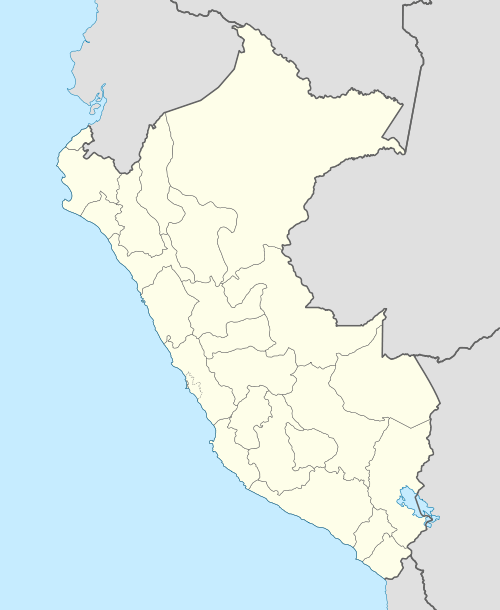 SPPB Location of the airport in Peru | |||||||||||
| Runways | |||||||||||
| |||||||||||
Tipishsa Airport (ICAO: SPPB) is an airport serving the village of Breu in the Ucayali Region of Peru. It may also have an ICAO code of SPBK.
Breu is capital of the Yurúa District. It is on the Juruá River, which drains into the Amazon basin.
See also
References
- ↑ Airport information for SPPB at Great Circle Mapper.
- ↑ Google Maps - Tipishsa
External links
This article is issued from Wikipedia - version of the 12/5/2016. The text is available under the Creative Commons Attribution/Share Alike but additional terms may apply for the media files.