Yauri Airport
| Yauri Airport | |||||||||||
|---|---|---|---|---|---|---|---|---|---|---|---|
| IATA: none – ICAO: SPIY | |||||||||||
| Summary | |||||||||||
| Airport type | Public | ||||||||||
| Serves | Espinar | ||||||||||
| Elevation AMSL | 12,795 ft / 3,900 m | ||||||||||
| Coordinates | 14°47′40″S 71°25′55″W / 14.79444°S 71.43194°WCoordinates: 14°47′40″S 71°25′55″W / 14.79444°S 71.43194°W | ||||||||||
| Map | |||||||||||
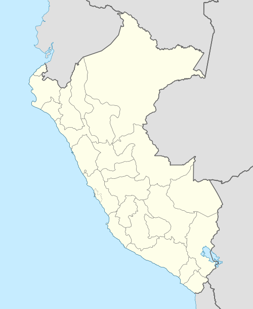 SPIY Location of the airport in Peru | |||||||||||
| Runways | |||||||||||
| |||||||||||
Yauri Airport (ICAO: SPIY) is an extremely high elevation airport serving the town of Espinar in the Cusco Region of Peru.
See also
References
- ↑ Airport information for SPIY at Great Circle Mapper.
- ↑ Google Maps - Yauri
External links
This article is issued from Wikipedia - version of the 12/5/2016. The text is available under the Creative Commons Attribution/Share Alike but additional terms may apply for the media files.